|
|
|
|
|
|
 From check point "Pererov" to the check point "Tikhovolya"
|
|
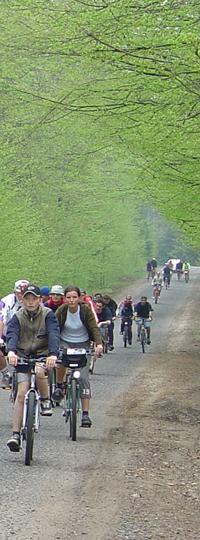
Movement from check point "Pererov" to the check point "Tikhovolya" of the Svisloch region
|
№
|
The length of the route,
km
|
Description
|
|
|
1
|
0,0
|
Border crossing "Pererov".
|
|
|
2
|
0,5
|
An information sign "Tsar road". A bridge remained since the beginning of XX century.
|
|
3
|
4,5
|
A bridge across Pererovnitsa river.
|
|
4
|
5,4
|
Pererov settlement. To the right - guest house "Pererov".
|
|
5
|
6,3
|
An information sign "Tsar's bridge".
|
|
6
|
7,2
|
Crossroads. Bend to the left.
|
|
7
|
7,4
|
An information sign "Falling Crosses". Bend to the right to an earth road, to the monument of the Belovezhskaya Pushcha inhabitants that were shot on August 1st, 1941. Back to the asphalt road, bend to the right.
|
|
8
|
8,0
|
Helipad
|
|
9
|
9,0
|
To the right - a forest of a conservation area.
|
|
10
|
12,2
|
Narevka river. Sometimes one can meet animals here.
|
|
11
|
16,2
|
Khvoiniki settlement.
|
|
12
|
21,9
|
Natural landmark Nikor. A bog, reclaimed in the 60s of the XX century.
|
|
13
|
28,2
|
To the right - an information sign "Environmental pass "Yazvinskaya Dybrava". In order to get to the dubrave directly it is necessary to walk (cycle) about 400 m. Back to the asphalt road. Bend to the right.
|
|
14
|
32,3
|
Check point "Tikhovolya"
|
|
15
|
33,8
|
Tikhovolya settlement
|
|
16
|
36,3
|
Brovsk settlement, an office of Brovsk forestry
|
|
17
|
36,7
|
Narev river
|
|
18
|
40,0
|
Turn from the main road to Zharkovshchina (to the right)
|
|
19
|
46,5
|
Zharkovshchina settlement. An old mansion of Tyshkevichi. Hotel. Svisloch region.
|
|
|
|


