About Białowieża Forest
An ancient lowland forest on the Belarus-Poland border: where the forest lies, how large it is, its landscape and rivers, and why it matters.
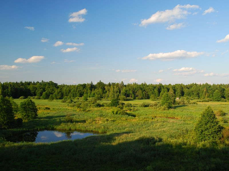
Białowieża Forest is one of the last large tracts of primeval lowland forest in Europe. The state border divides it into a Belarusian and a Polish part. The Belarusian part is protected by the Belovezhskaya Pushcha National Park, the Polish part by Białowieża National Park. Together they are inscribed on the UNESCO World Heritage List as a single transboundary site.
The Belarusian national park covers 150,083 hectares in the Kamenets and Pruzhany districts of Brest Region and the Svisloch district of Grodno Region. Almost all of it is forest. The park's headquarters are in the village of Kamenyuki in Kamenets District, along with the Museum of Nature, the wildlife enclosures and the starting points of the tourist trails.
Landscape and rivers
The forest lies on a plain 145-148 metres above sea level, with only the occasional ridge or hill. The highest point is Kozya Hill near Viskuli, at 202 metres. Along the northern and north-eastern edges of the forest runs the watershed between the Baltic and Black Sea basins: tributaries of the Neman and the Pripyat rise here, while the Narew and the Lesnaya Pravaya carry their water into the Bug and on to the Vistula.
The Narew rises in the Dikoye bog, one of the largest fens in Europe, which has survived in a near-natural state. There are no natural lakes in the forest; the largest bodies of water are the Lyadskoye and Khmelevskoye reservoirs, created on the site of a drained bog in the south of the park.
In this section
- Nature of the forest - climate, woodland, plants and animals
- Rivers and bogs
- Zoning of the national park
- Status and organisation of the park, coat of arms and symbols
- Plants and animals, maps and plans, geology
- Science in the forest - the park's publications and research
Official information about the park, visiting rules and excursion prices are on the national park's website.